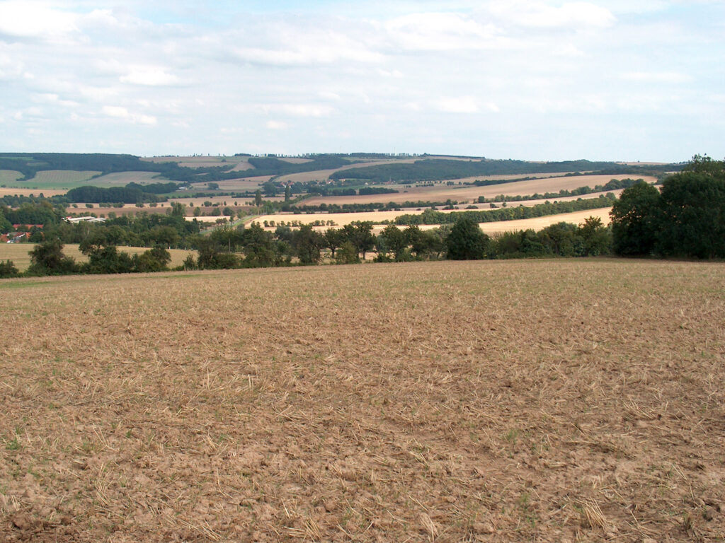
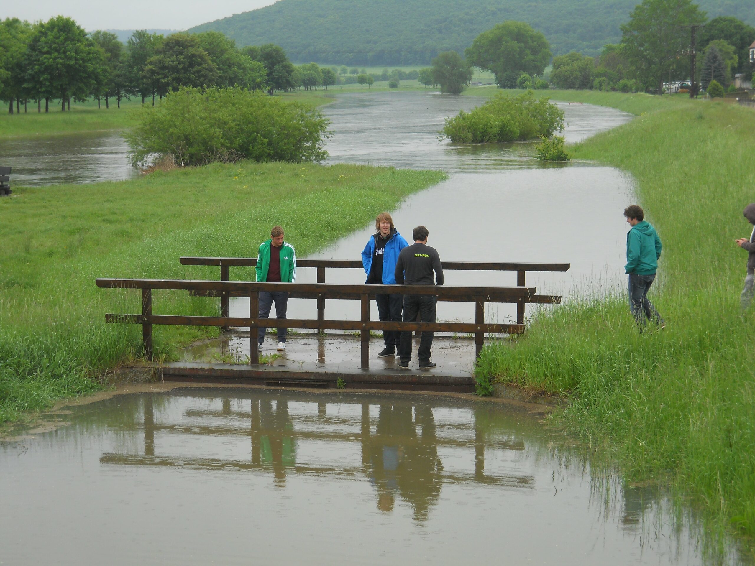
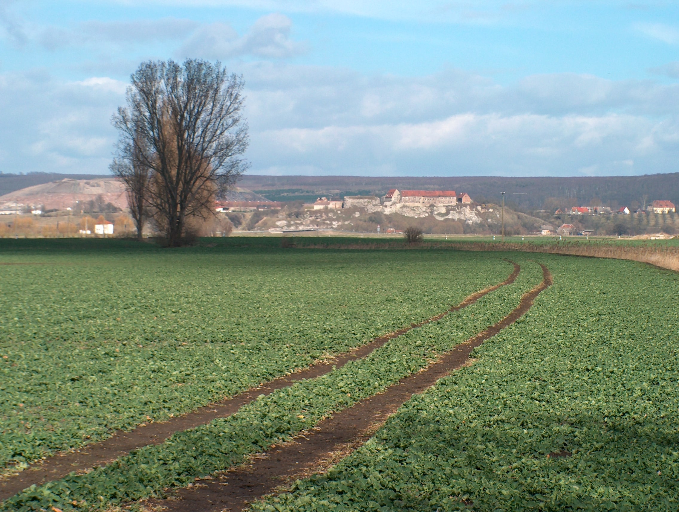
The catchment area of the Röstbach is located in the south-west of Saxony-Anhalt, in the transitional area from the large Unstrut-Helme fen to the breakthrough valley of the Unstrut through the Triassic region. The Röstbach with its tributaries drains the eastern part of the Finne and flows into the Unstrut at the edge of the town of Memleben.
The area belongs to the old lowlands and thus has a very long history of use. This is documented, among other things, by the immediate vicinity of the site where the Nebra Sky Disk was found and the Memleben Imperial Palace. Due to the favourable climatic and soil conditions, agriculture predominates here. The former floodplains of the Unstrut were dyked and meliorated in the 1960s with the aim of permanently opening up the fertile floodplain soils for agricultural use in addition to flood protection. The soil mosaic is thus very diverse and ranges from alluvial brown soils to black and parabrown soils in the transition to the Finne to rendzines at its higher altitudes. The landscape mosaic there is still quite small-scale and diverse.
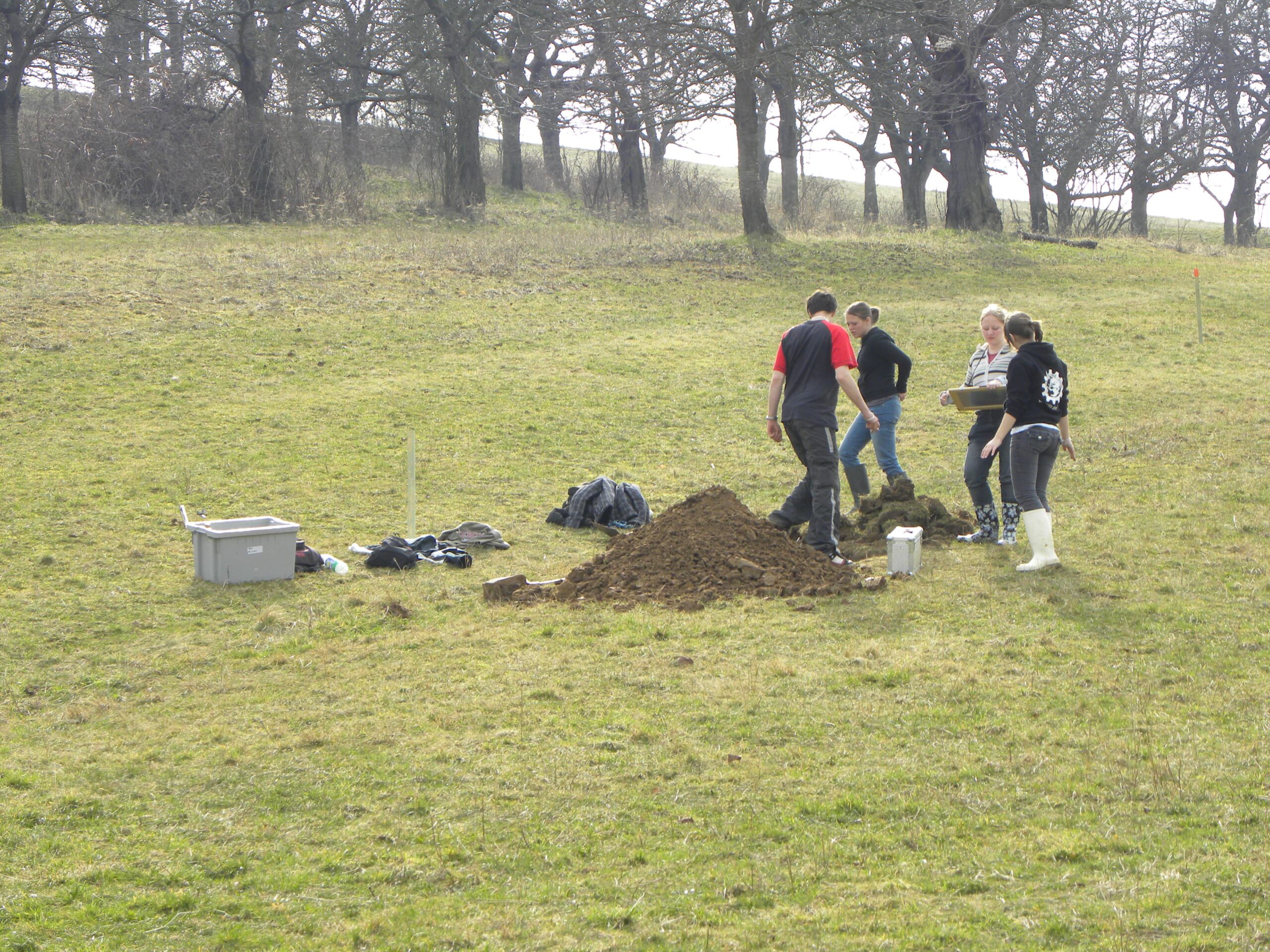
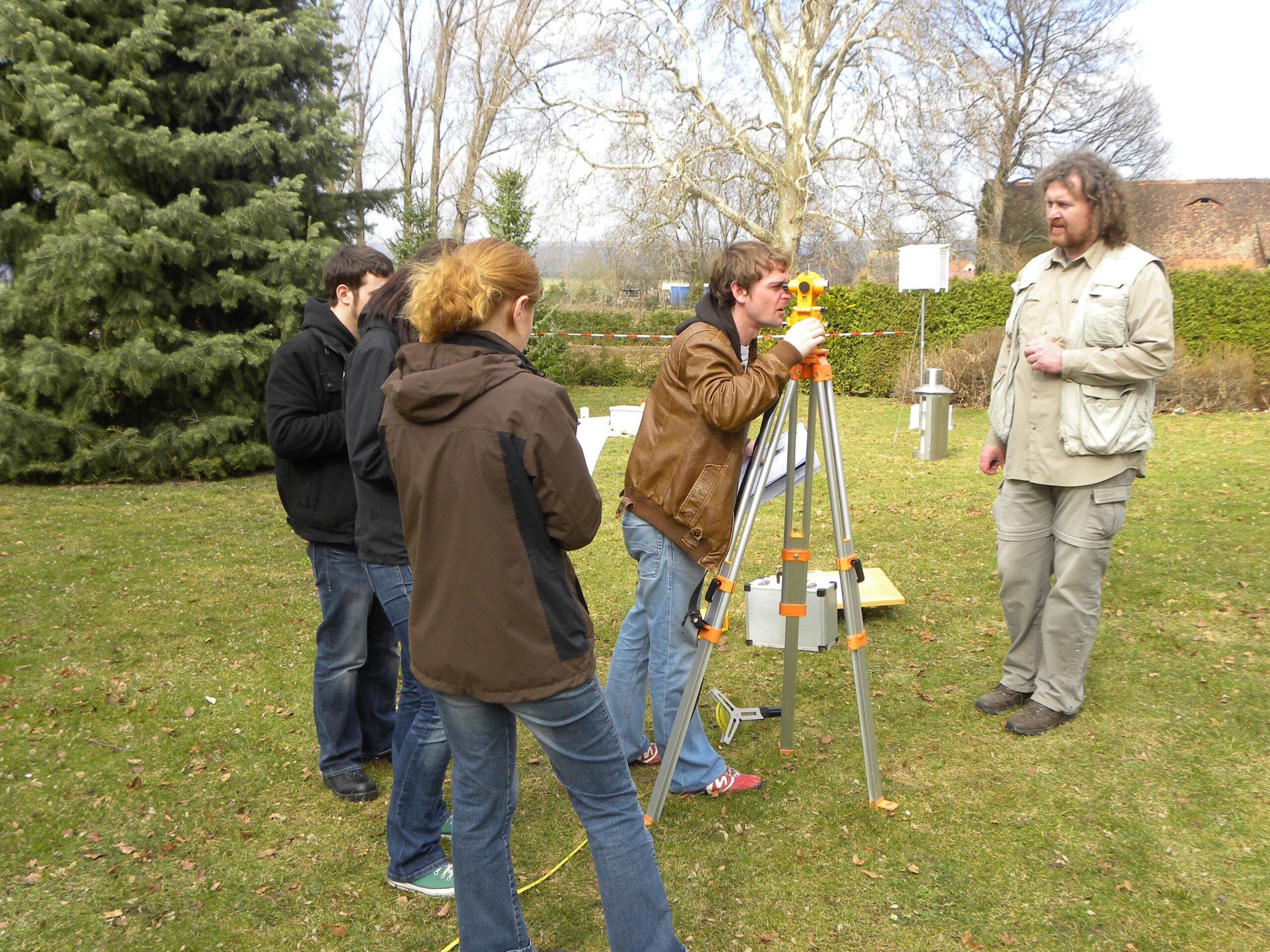
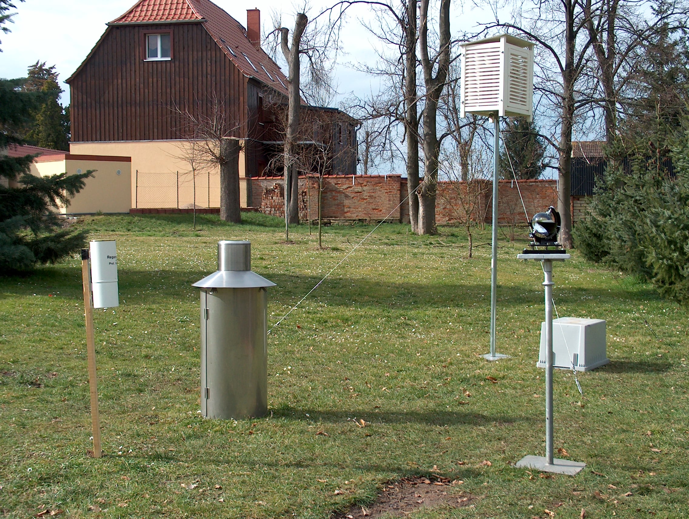
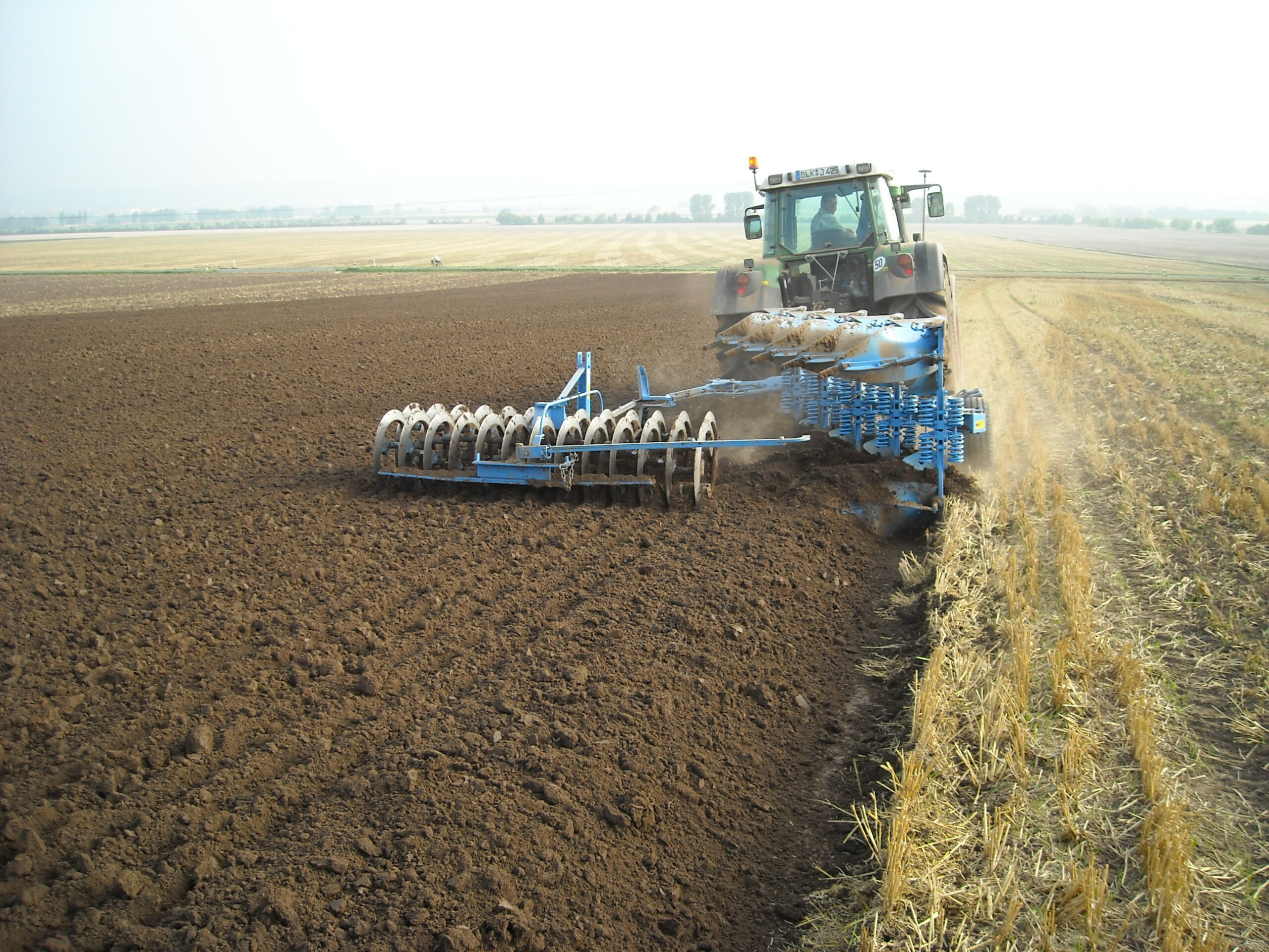
Due to the good accessibility and consolidation of the terrain, the diversity of the landscape and the long-standing cooperation with the local agricultural enterprise and the municipal administration, the geoecology department has been carrying out field work there since 2006. The focus is on working with meteorological, pedological and hydrological field measurement and sampling methods. This serves as a basis for analysing the site- and catchment-specific water and material balance as well as evaluating land use effects for soil condition, runoff formation and water quality.
Partner on site:
- Agrargesellschaft Wohlmirstedt mbH
- Gemeindeverwaltung Kaiserpfalz