The field measurement equipment and tools are used both for training students and for project-based and continuous environmental monitoring in the field.
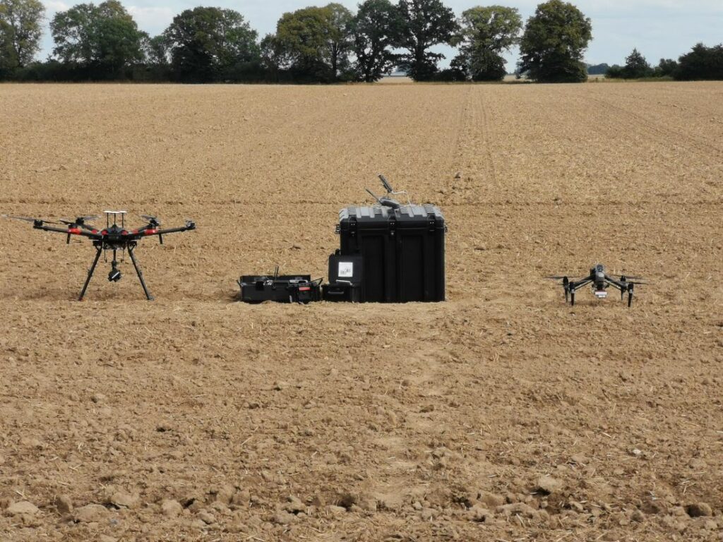
Unmanned Aerial Systems
Unmanned Aerial Vehicles, or drones as they are colloquially known, offer a wide range of possible applications in our research area. Whether for recording biophysical parameters, microscale agrometeorological data or for analysing terrain surfaces, we currently have 3 multicopter platforms and various sensors available for our projects and theses. For imaging procedures, we have a wide range of sensors at our disposal, from simple aerial photographs (RGB) to multispectral images. For investigations of terrain surfaces, we also use a LiDAR system. Since 2021, we have also been able to carry out point measurements with a UAV-mounted anemometer. Please contact our colleagues Detlef Thürkow or Mike Teucher if you have any questions about using the equipment for your research or thesis.
Lab
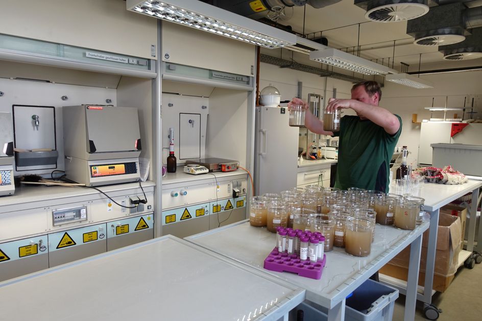
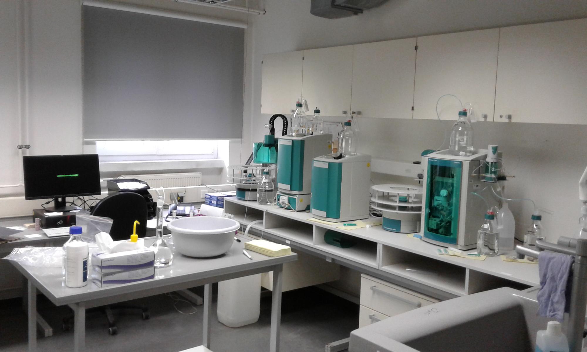
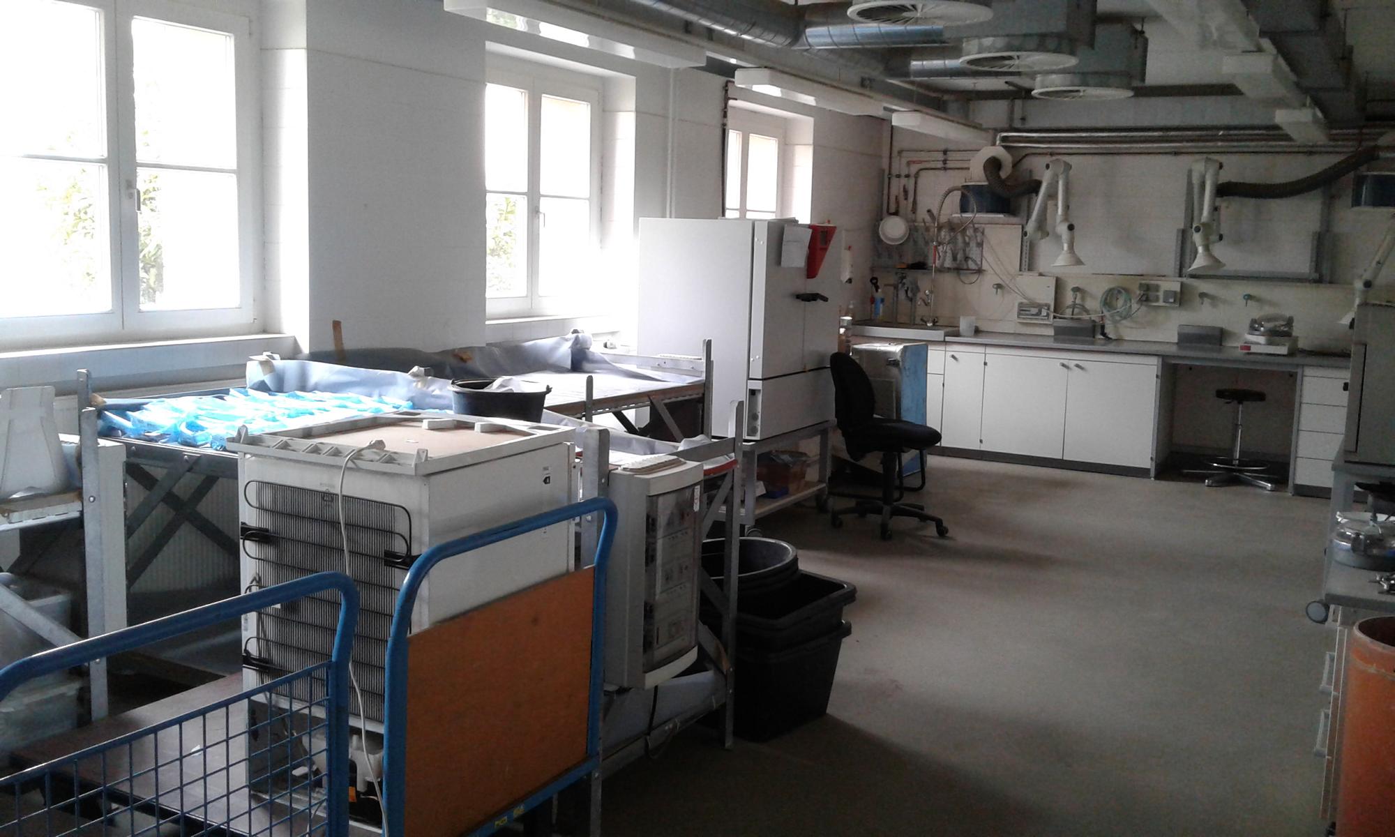
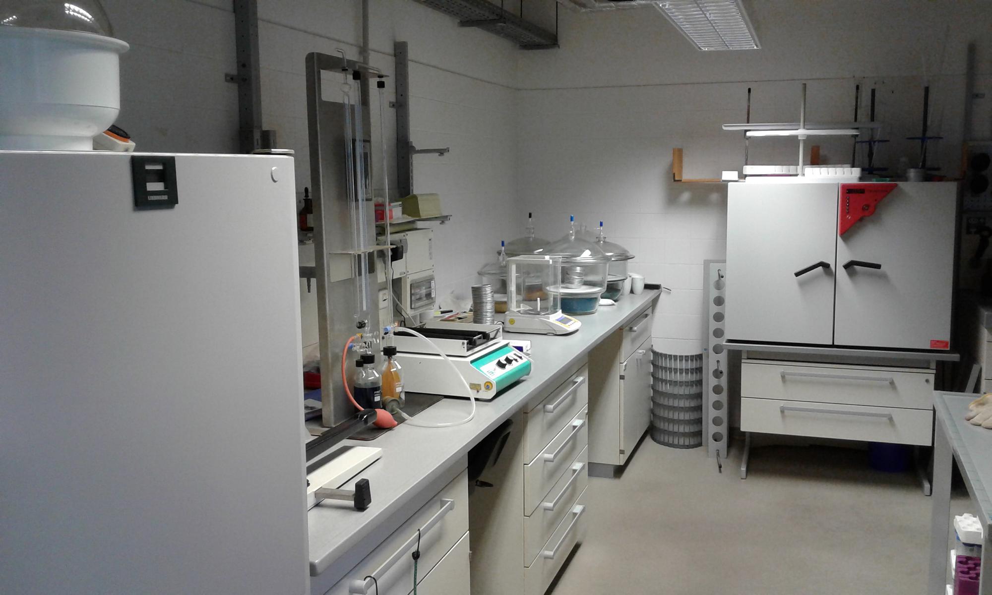
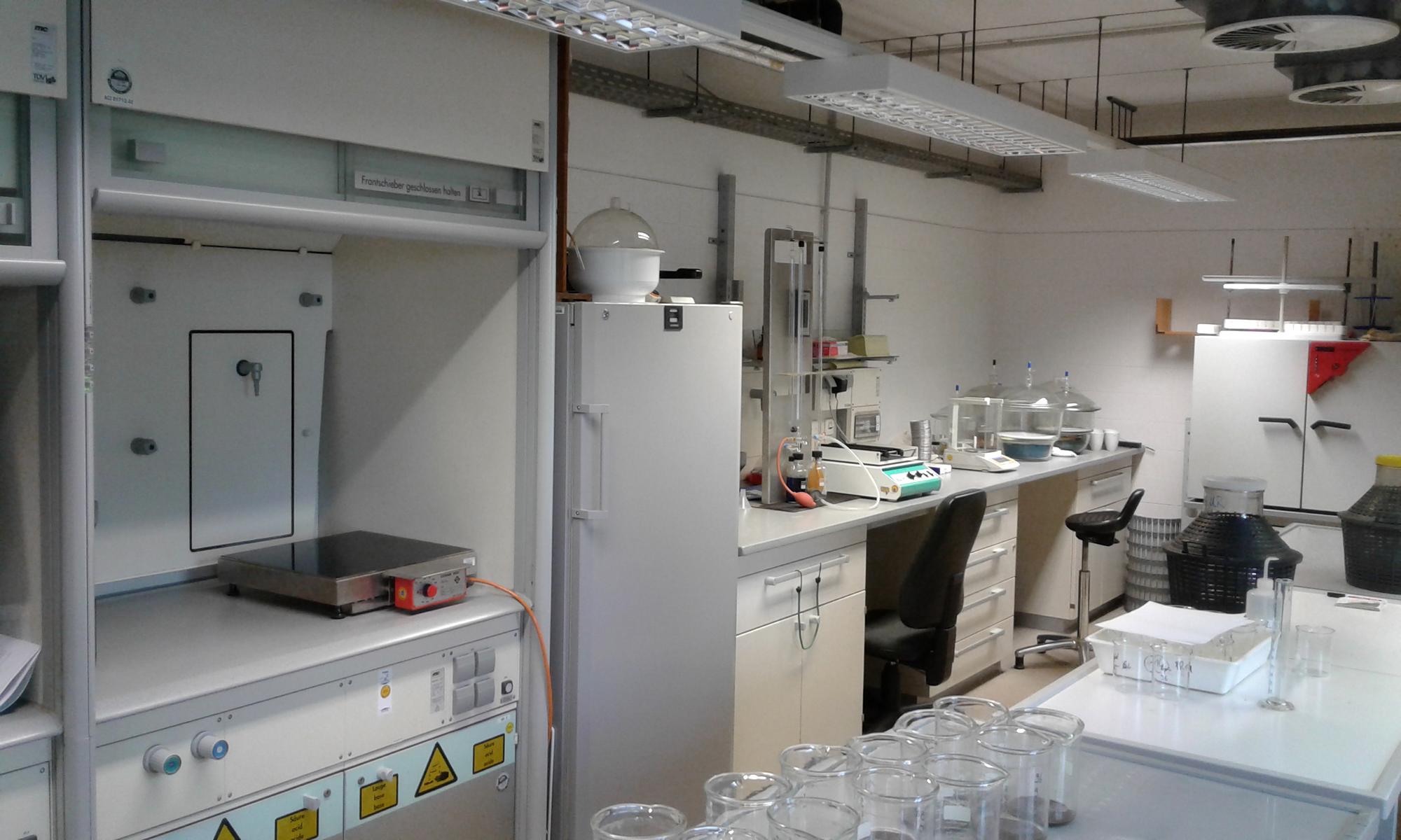
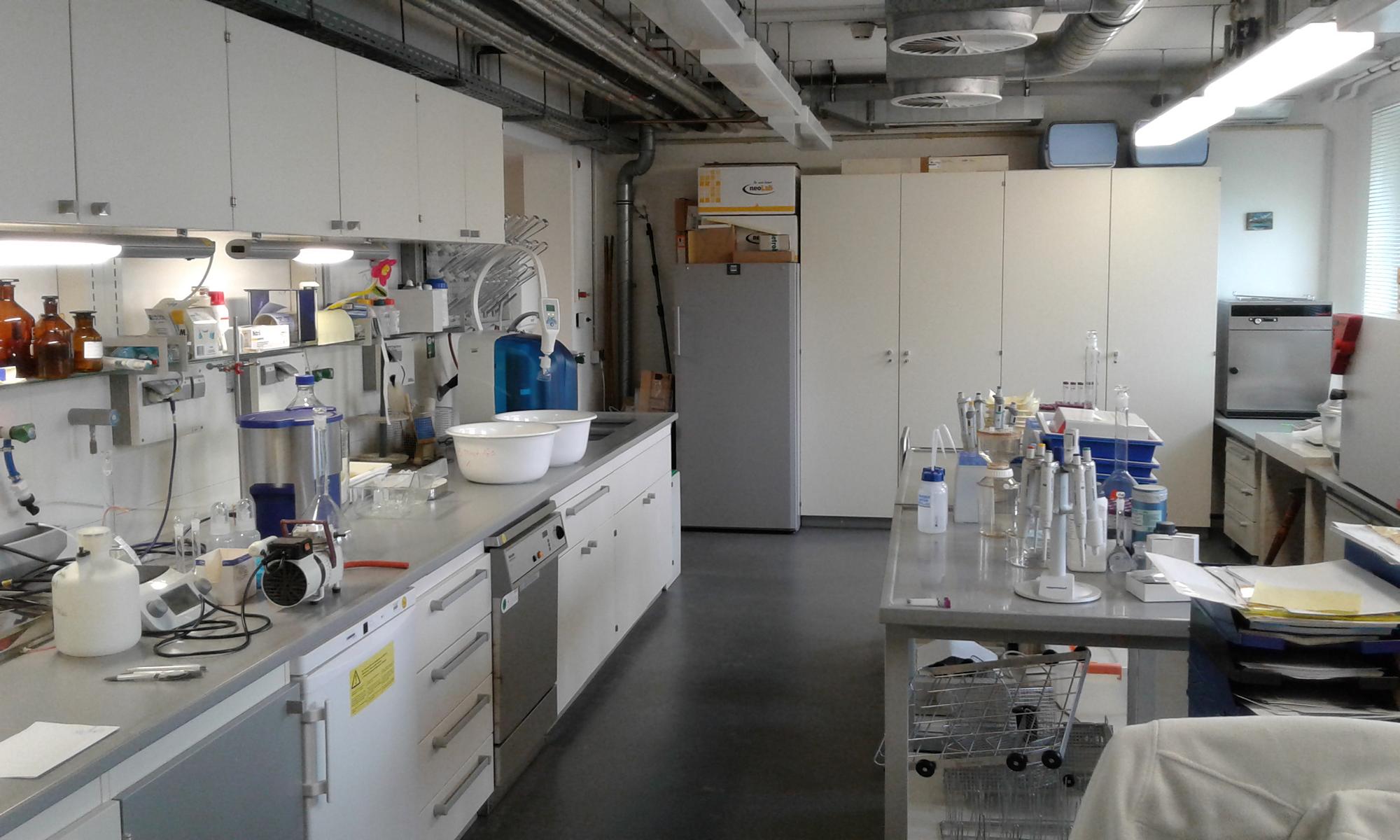
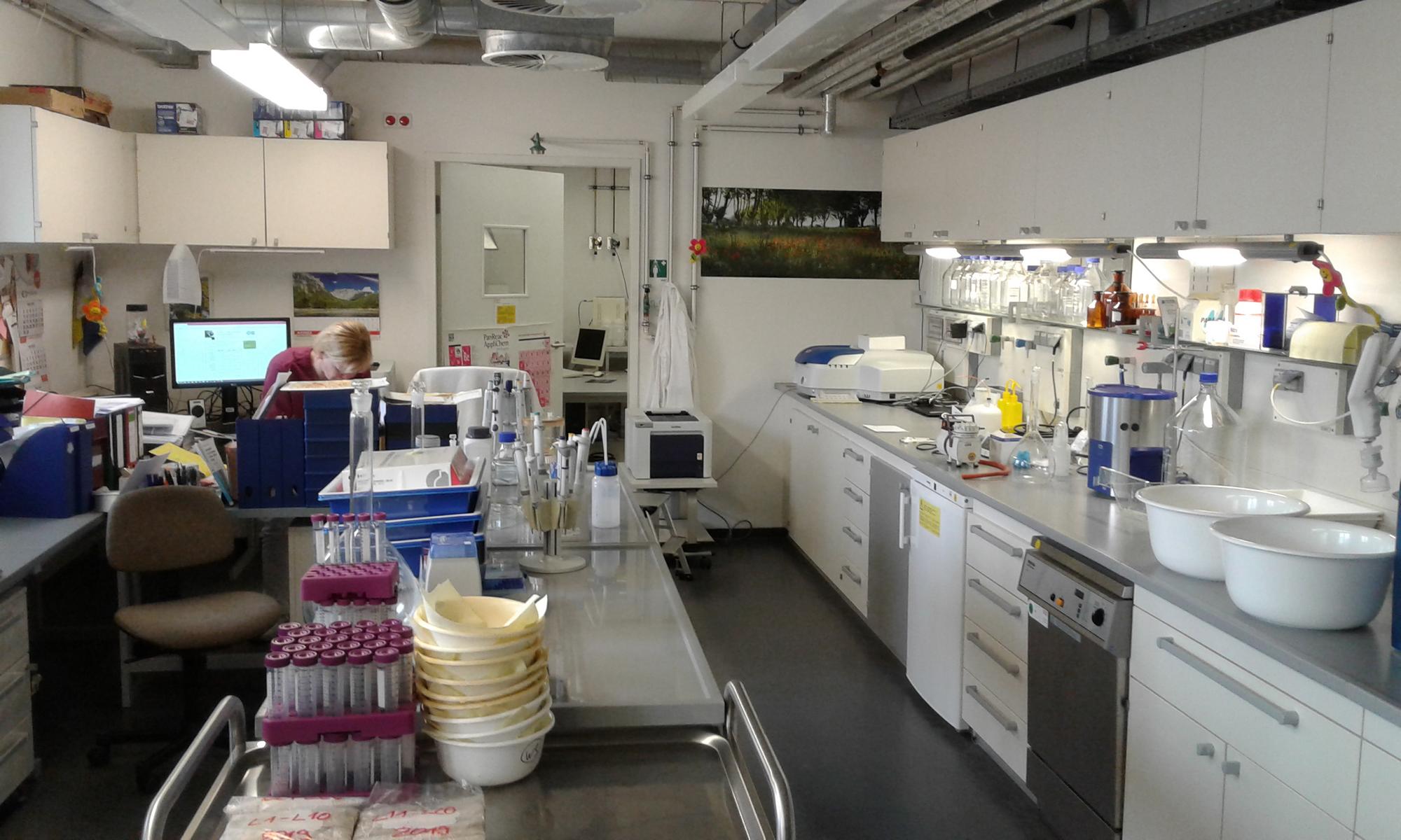
The geoecological laboratory is a facility of the teaching area “Geography” to which all working groups have access. However, the scientific and organisational management is carried out by the geoecology department. It serves both the training of students and the analysis of samples of project-bound and continuous research and observation. Its focus is on water and soil chemistry on the one hand and soil physics and hydraulics on the other.
Soil physics and hydraulics
The infiltration rate (Kf value) on undisturbed soil samples by means of permeameter and the suction stress by applying negative pressure in the range of pF 1 to pF 2.9. In pressure pots, suction stress can be measured up to pF 4.2 (wilting point). Determination of particle size from 0.1 µm to 3.5 mm in 64 classes by laser diffraction in suspensions and in the air stream (dry dispersion). Determination of carbonate content in soil by means of Scheibler and organic matter by means of loss on ignition. Lime as an aggregate former and organic matter in its quantity as a structure former are placed here for soil physics and hydraulics.
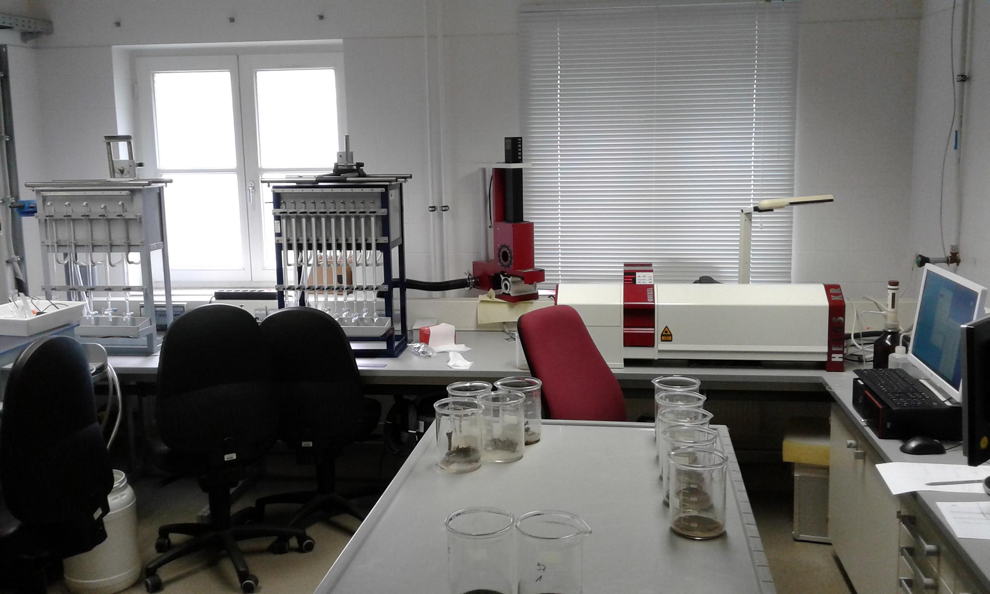
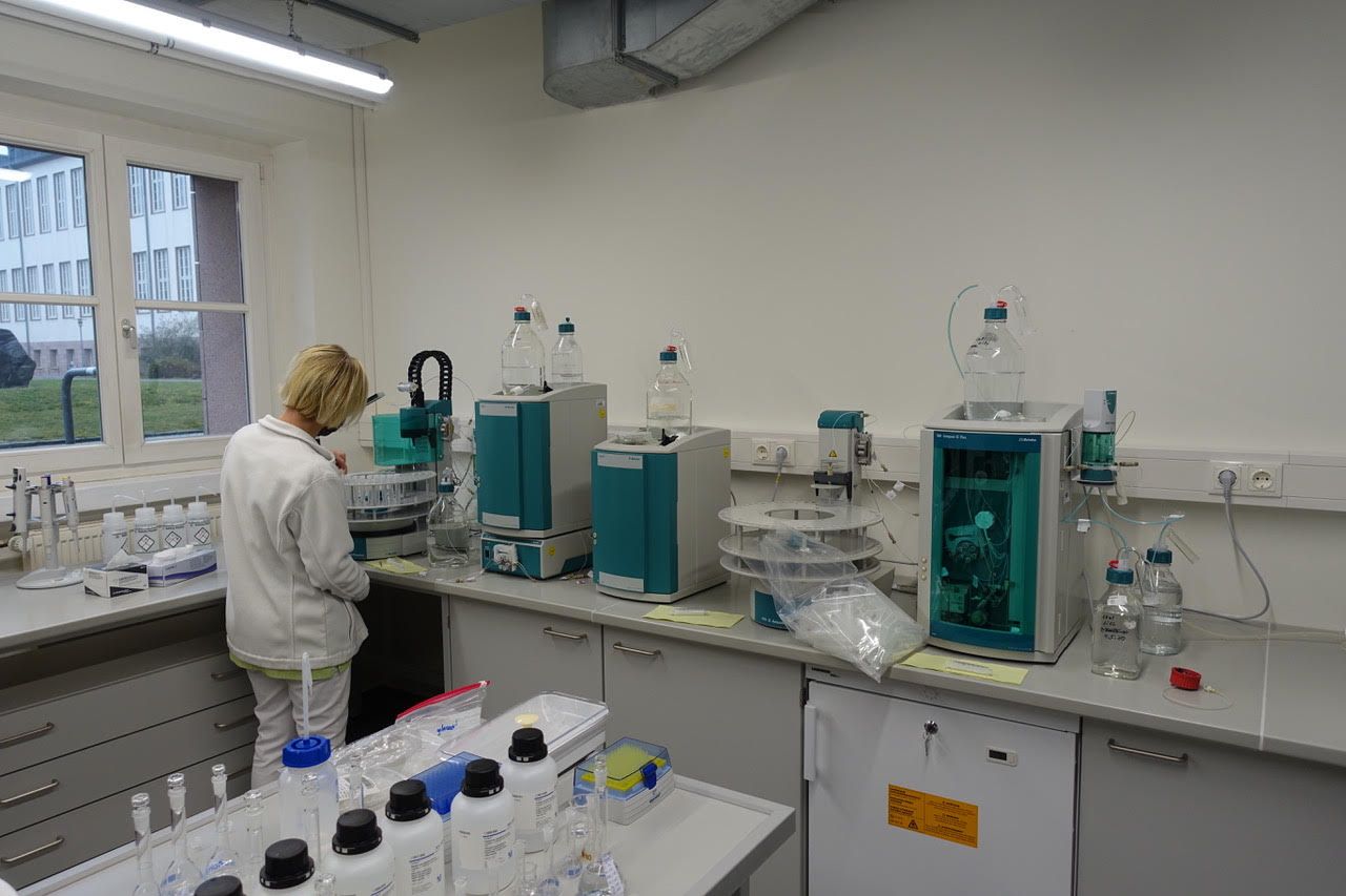
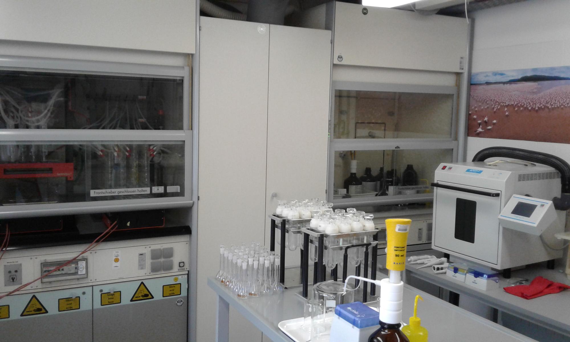
Water and soil chemistry
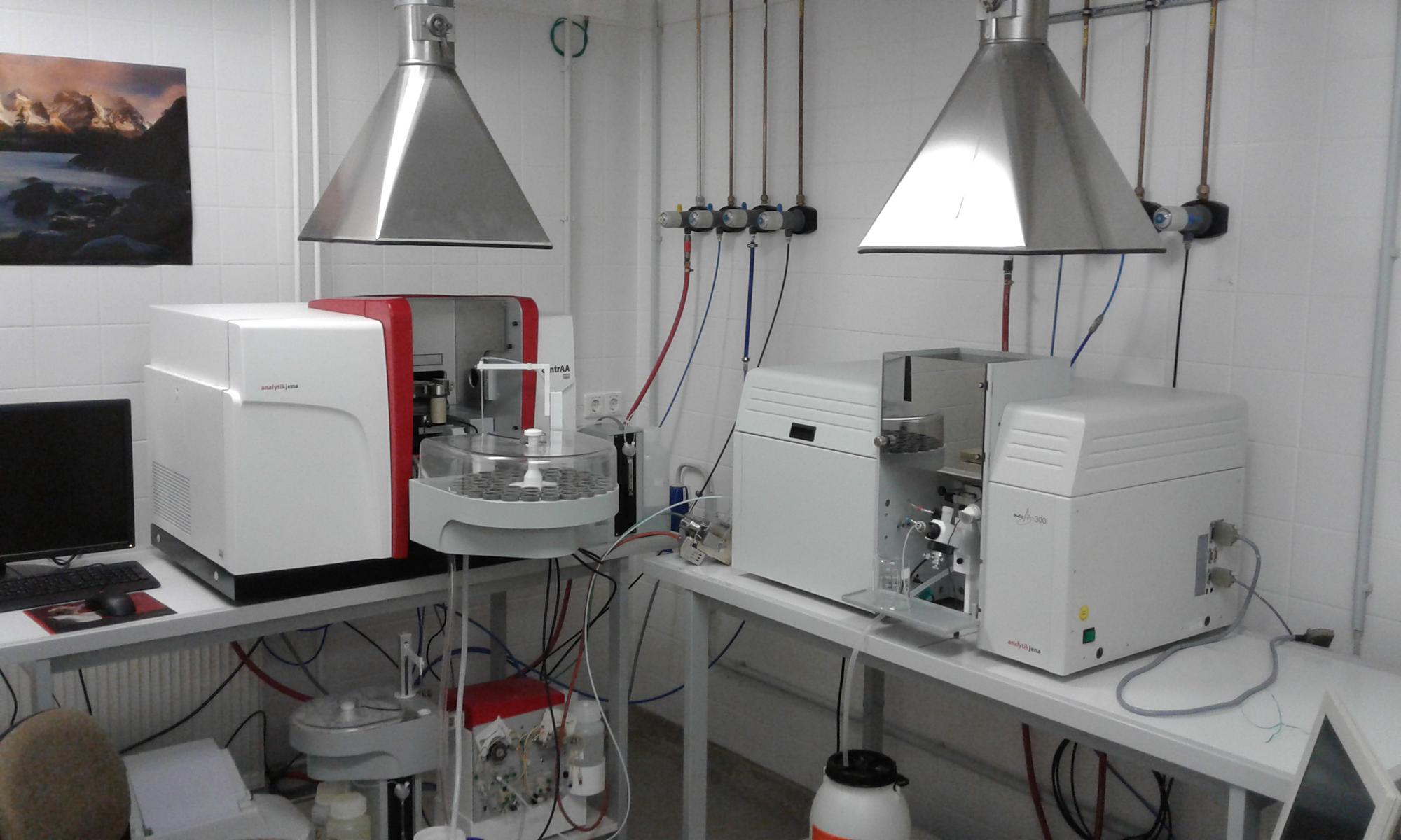
The determination of anions and cations in aqueous soil digestions and natural waters is carried out by means of ion chromatography. Here, two chromatographs are connected in series to measure the same aliquot in each case when calculating ion balances. The determination of metals in outcrops by aqua regia, plant-available metals and water-dissolved metals is realised by means of atomic absorption spectrometry in flame and graphite tube. Phosphates in the dissolved and undissolved phase. Digestion of total phosphorus and determination as ortho-phosphate after molybdate blue reaction in UV-vis spectrophotometer is another method of water and soil chemistry.
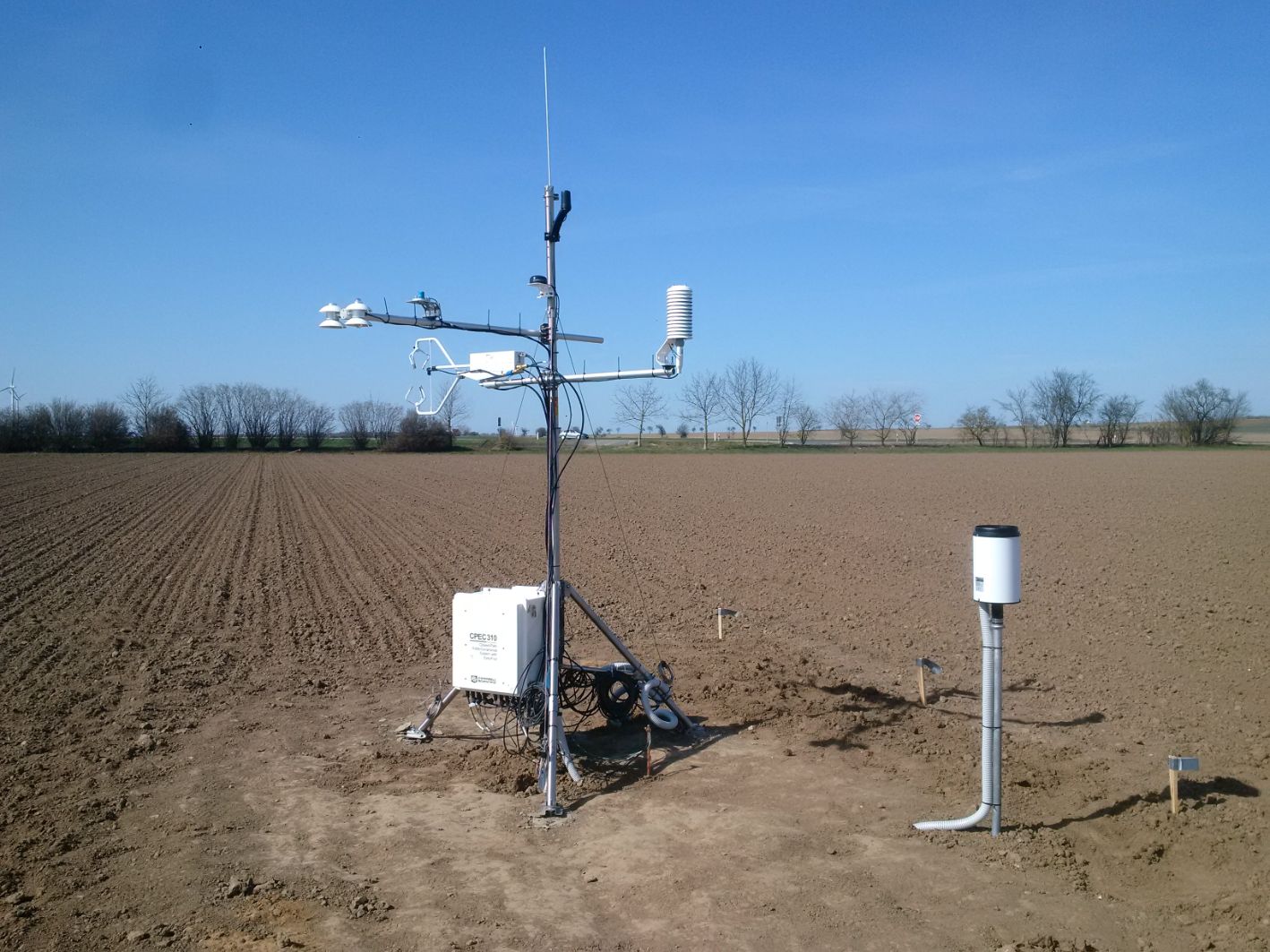
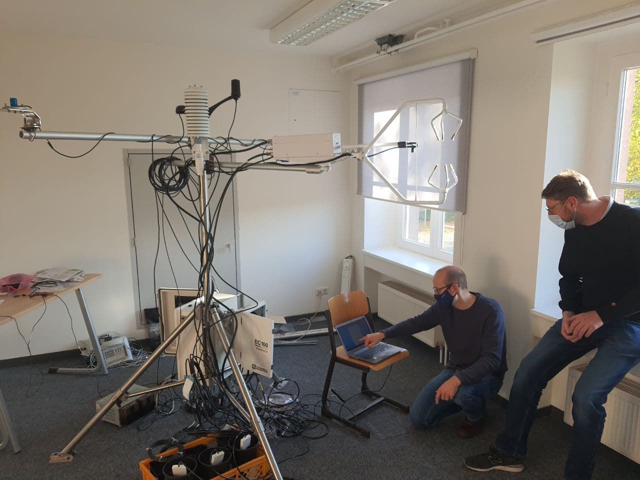
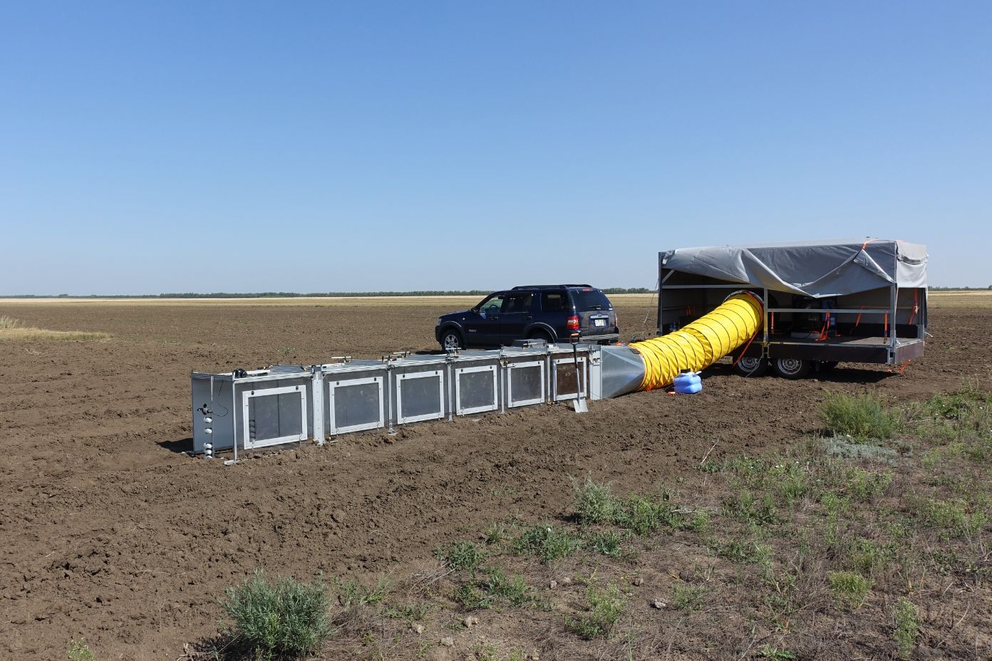
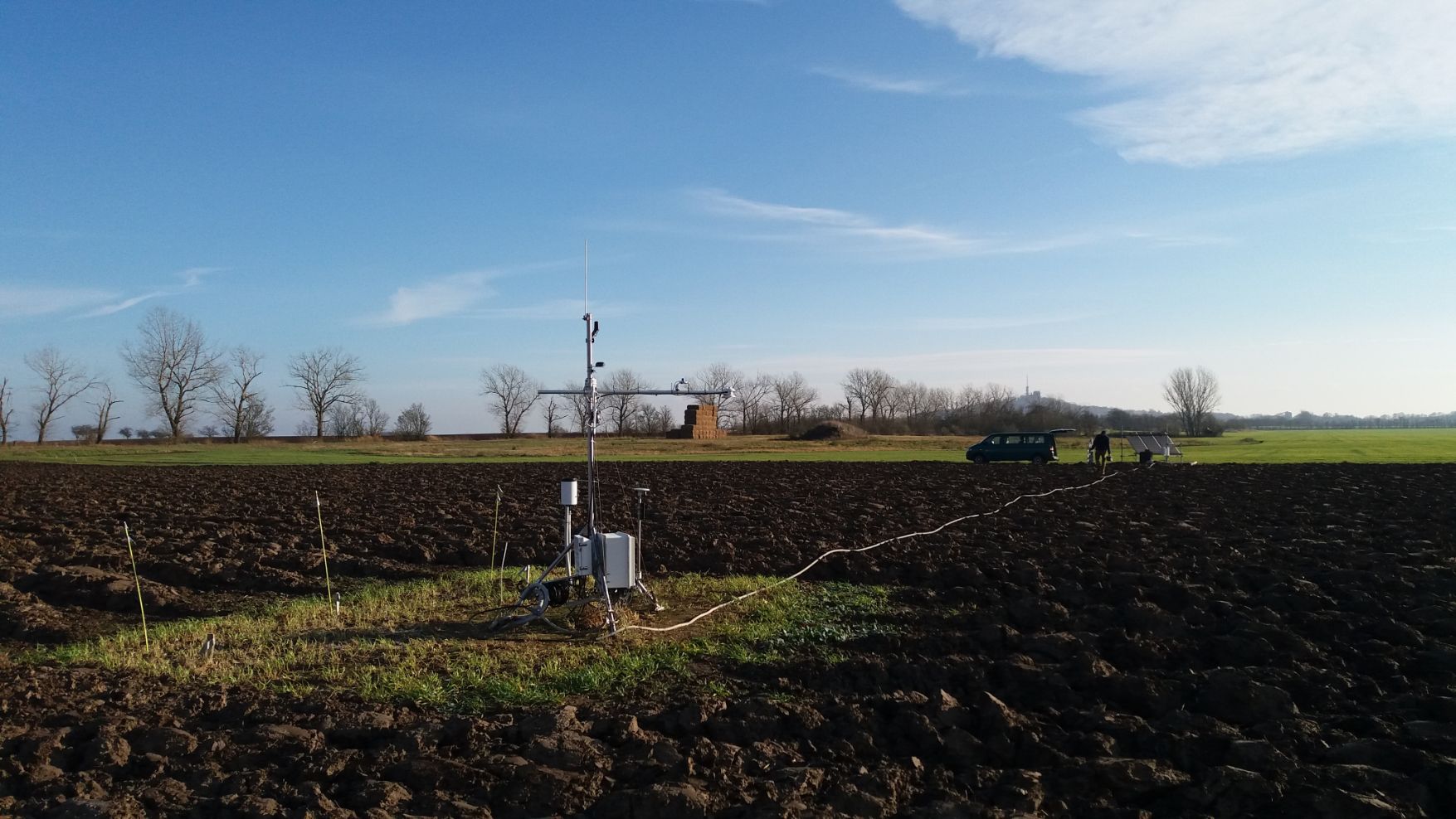
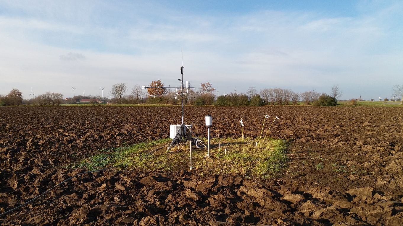
Environmental monitoring
We have extensive equipment for qualitative and quantitative analyses in the fields of hydrology, soil science, vegetation, meteorology and surveying. For this purpose, we use mobile measurement technology with simple but robust mechanics, such as Edelmann soil augers and state-of-the-art surveying equipment, such as the TOPCON HiPerSR GNSS system. This is supplemented by our stationary measuring technology with weather stations in the measuring network or eddy covariance stations on the areas of our field labs. The devices are used for both project-related and continuous environmental monitoring. A list of the devices can be found here.
IT
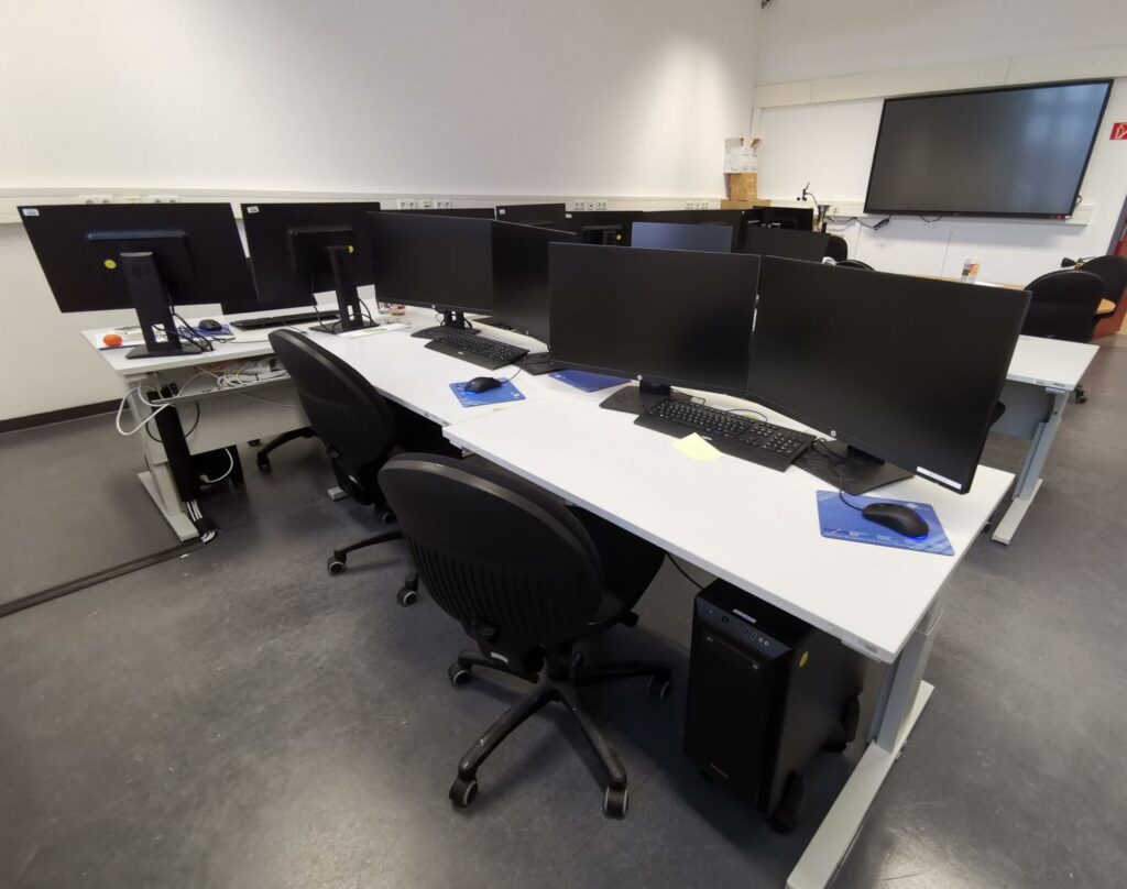
In our innovation lab, 8 modern and powerful computers are available for students. Extensive software equipment makes it possible to work on computationally intensive tasks for theses or as research assistants in our research projects.
From open-source applications such as QGIS and R-Studio to expert software for processing remote sensing and UAV data and the extensive software suite from ESRI, there are numerous options for processing and visualising data. In addition, the computers offer options for various program environments, such as Python or R, which can also be used to organise process chains over days. As geoecologists, we are also available to help with technical and professional questions.
For those who want and need more, we have access to 2 workstations with powerful graphics cards and 512GB RAM.