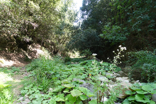
Groundwater resources are biodiversity hotspots and provide important ecosystem services. Groundwater-dependent ecosystems (GDEs) are exposed to anthropogenic threats such as climate change. In order to respond to these threats, the identification of GDEs needs to be advanced on a global scale. The project will develop a novel vegetation and hydrological approach for mapping, analysing and assessing GDEs on a global scale using multi-scale and multi-instrument methods.
Sub-project leader:
Team:
- Léonard El-Hokayem
- Muhammad Usman
- Jonathan Everts
- Francesco Maria Sabatini
Project partners:
- German Centre for Integrative Biodiversity Research
Background and objectives:
- Entwicklung eines biom-spezifischen Workflows zur Kartierung von grundwasserabhängigen Ökosystemen
- Validierung der Ergebnisse
- Bewertung Gefährdungspotentials für GDEs
Methodological approach:
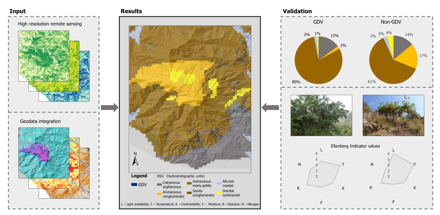
- Definition of the global GDE mapping framework (remote sensing, spatial data integration)
- Implementation of the global GDE mapping framework at the biome level
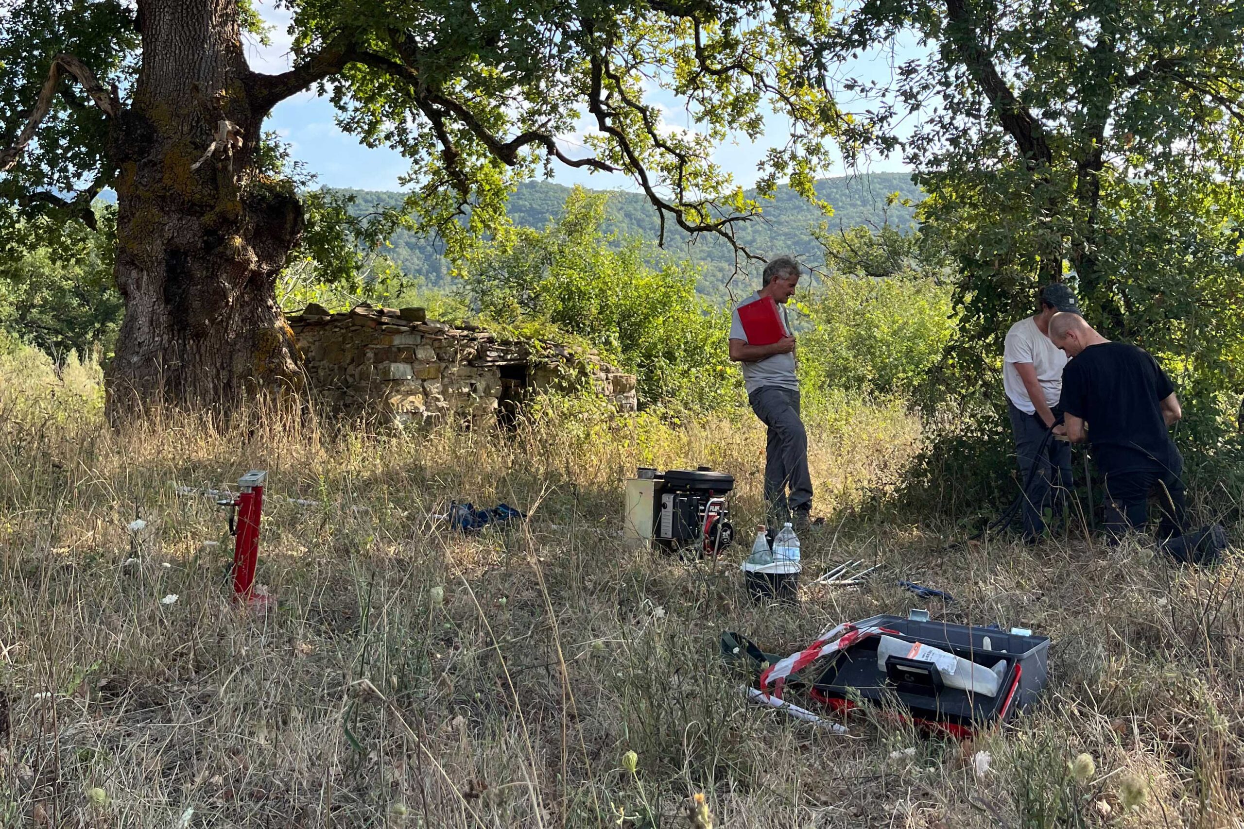
- Proof of concept, validation and optimisation with existing GDE maps and data from field work (vegetation surveys, vegetation ecology measurements (SPAD, LAI, fluorescence, soil parameters)
- Analysis of the sensitivity of GDEs to climate change and anthropogenic influences (remote sensing, geo-data integration)
Expected results:
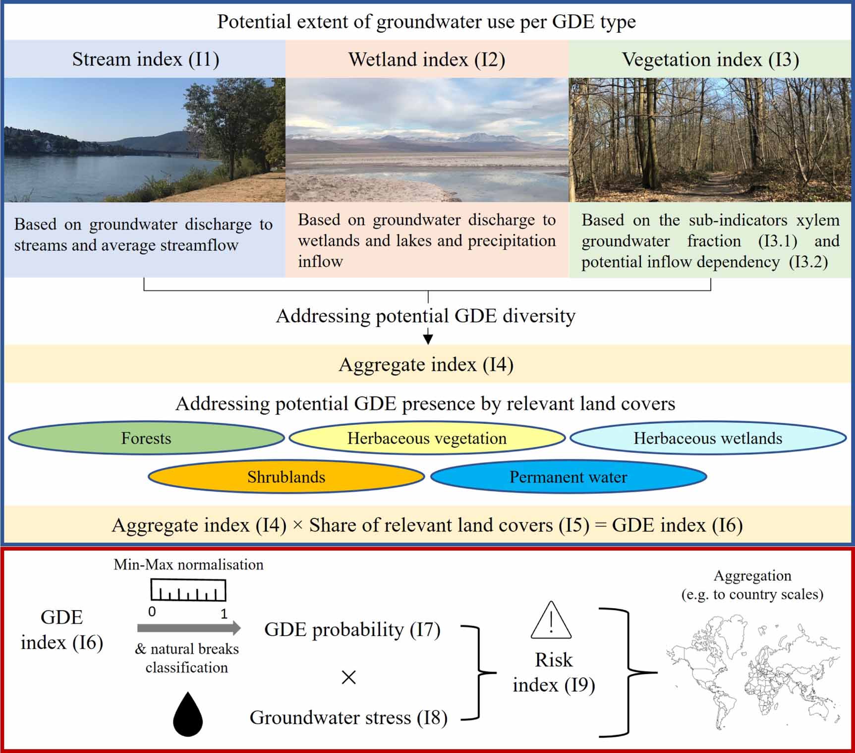
A global map of groundwater-dependent ecosystems (especially groundwater-dependent terrestrial vegetation) in different biomes, validated with different (in-situ) geodata, is expected. On the basis of this map, the GDEs are to be assessed against the background of the Red List for ecosystems with regard to their endangerment by anthropogenic influence.