The PhenoSAR-Demmin project investigates the derivation of phenological times and periods from remotely sensed time series according to the current state of scientific knowledge. Data from the Sentinel-1 mission are the main focus. In recent years, numerous studies have shown that these data provide an excellent basis for phenological monitoring. In particular, radar’s sensitivity to physiognomic changes in plants and its greater independence from the weather compared to optical systems are of great advantage. Based on these findings, PhenoSAR aims to develop a monitoring approach that enables the detection of individual points in time as well as time periods, such as the transition from the vegetative to the reproductive phase. This will be done in particular with regard to the work already underway at the Demmin site. In the national context, the AgriSens Demmin 4.0 project should be mentioned here. The integration of the site into the JECAM initiative, on the other hand, ensures cooperation at an international level and serves as a starting point for the planned spatial transfer of the monitoring approach. Furthermore, the project is closely linked to the data cube infrastructure of the Chair of Remote Sensing in order to create technical possibilities for transfer and scalability.
Project lead:
Project partner:
Earth Observation Research Cluster Julius-Maximilian-Universität (JMU), Würzburg
Goals:
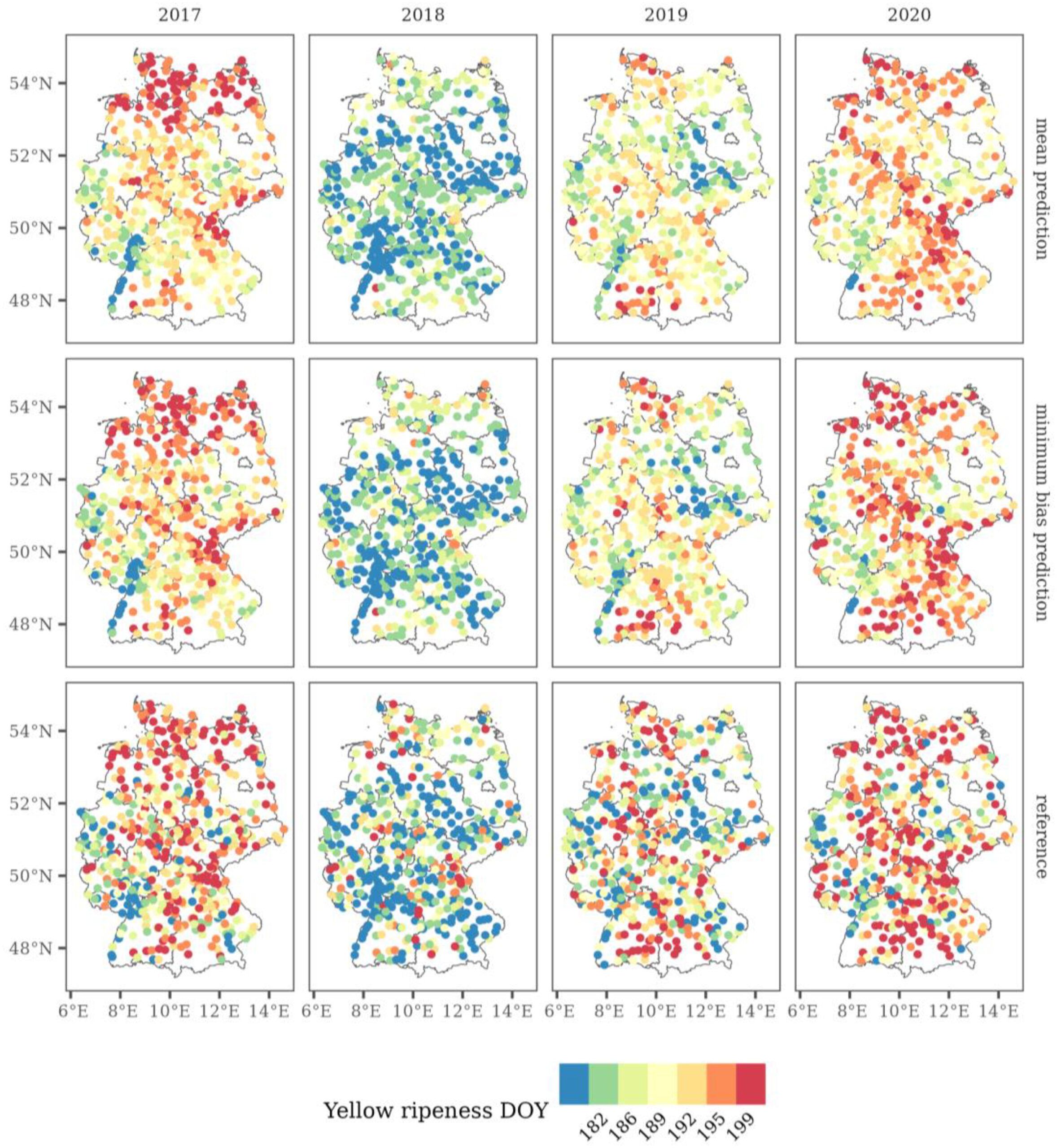
Derivation of phenological time points and periods from remote sensing-based time series
Detection of individual time points but also time periods, such as the transition from vegetative to reproductive phase
Close link to the data cube infrastructure of the Chair of Remote Sensing (JMU)
Methodischer Ansatz:
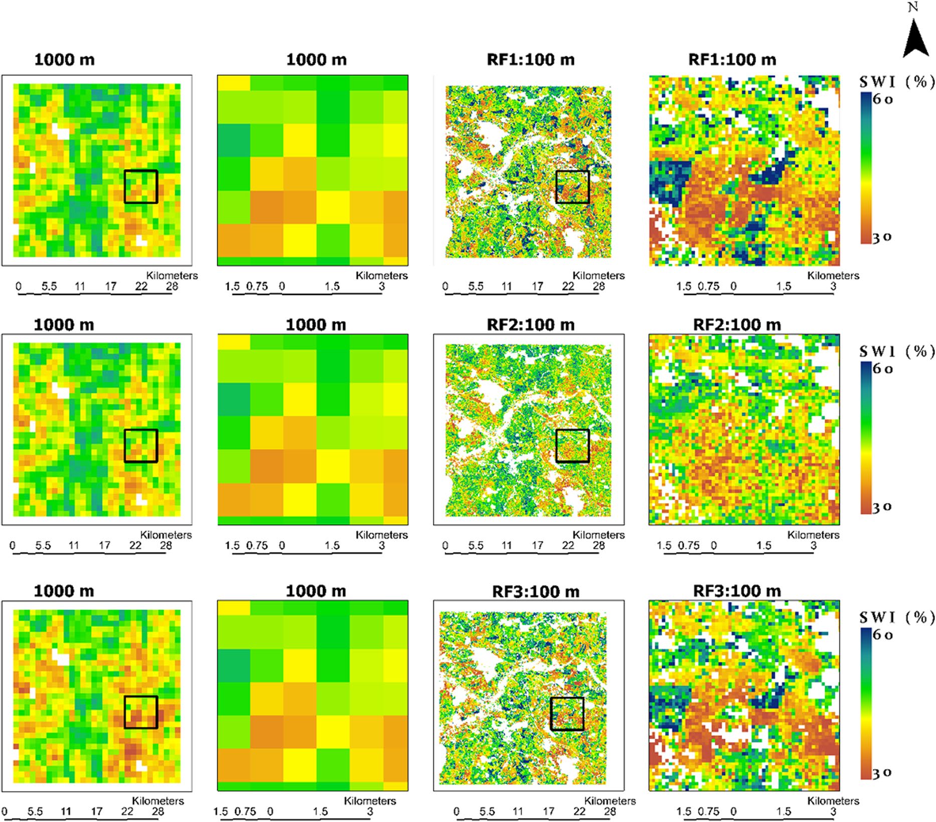
Interferometric and polarimetric time series derived from Sentinel-1 data
Time series analysis; inference of turning points and extremes
Agro-meteorological data assimilation
Expected results:
The expected outcome is a monitoring framework for detecting different stages of plant growth and their transitions, with a focus on improved transferability and scalability.